Quiet trails · Kanchenjunga & the east
Kanchenjunga North Base Camp
- 20 daysDuration
- 5,143 mHighest point
- StrenuousDifficulty
- ★ 4.828 reviews
The long walk to Pangpema, beneath the third-highest mountain on earth, through a corner of Nepal most trekkers never reach.
Getting to Kanchenjunga takes two days before you walk a step: a flight to the eastern Terai, then ten hours of hill road to Taplejung. That barrier is why the trail is empty and why the villages along it still run on subsistence farming and cardamom rather than tourism.
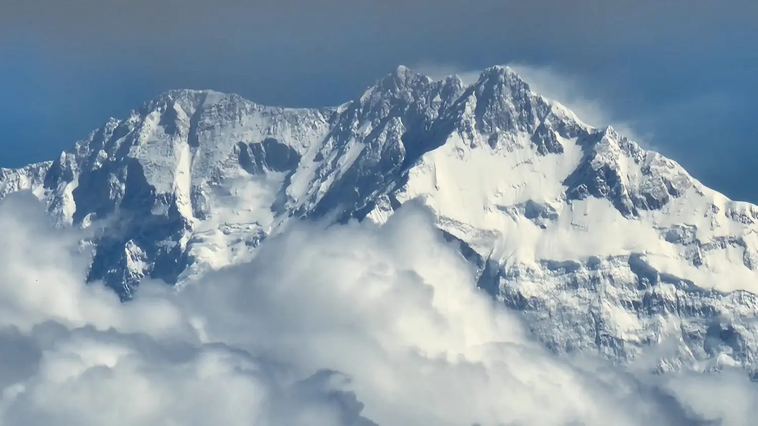
The route climbs steadily north through Limbu and Rai country, then Sherpa villages, then nothing but moraine, finishing at Pangpema — an open shelf at 5,143 m looking straight up at the north face of a mountain that is 8,586 m high.
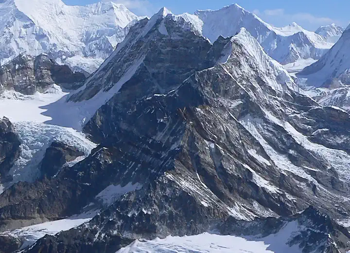
- Pangpema at 5,143 m, directly beneath the Kanchenjunga north face
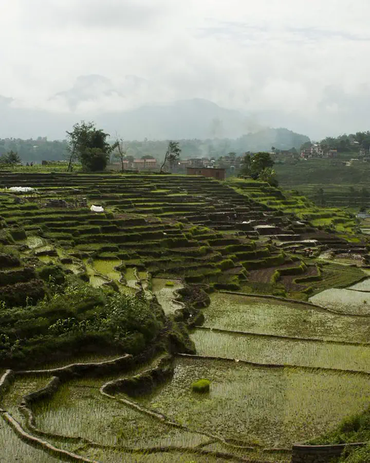
- Cardamom terraces and Limbu villages through the long approach
- Ghunsa, a Sherpa village with its own micro-hydro scheme
- Two weeks on a trail with almost no other foreign trekkers
The essentials
- Duration
- 20 days
- Highest point
- 5,143 m
- Group size
- Max 8
- Style
- Remote trek
- Starts and ends
- Kathmandu to Kathmandu
- Best season
- Apr–May · Oct–Nov
- Accommodation
- 15 nights in basic lodges and homestays, 3 nights camping, 2 nights in hotels
- Meals
- All breakfasts, lunches and dinners on trek
- Transport
- Kathmandu–Bhadrapur flights, jeep to and from Taplejung
- Permits
- Kanchenjunga restricted-area permit + conservation area entry
The shape of the journey
- 1
- 2
- 3
- 4
- 5
- 6
- 7
- 8
- 9
- 10
- 11
- 12
- 13
- 14
- 15
- 16
- 17
- 18
- 19
- 20
When to walk it
April to May and October to November. The east catches the monsoon early and hard.
- J
- F
- M
- A
- M
- J
- J
- A
- S
- O
- N
- D
- Prime
- Shoulder
- Closed
Day by day
20 days, as they are actually walked. Your guide may reorder a day for weather — that is the point of having one.
-
1
Arrive in Kathmandu
Transfer, briefing and permit processing for the Kanchenjunga restricted area.
- 1,400 m
- Kathmandu hotel
- Dinner
-
2
Fly to Bhadrapur, drive to Ilam
An hour east by air, then up into tea country for the night.
- 1,200 m
- 4 hr drive
- Ilam hotel
- All meals
-
3
Drive to Taplejung
Six hours of hill road, ending at the trailhead town.
- 1,820 m
- 6 hr drive
- Taplejung lodge
- All meals
-
4
Taplejung to Chirwa
Down to the Tamor river and north along it, through the first cardamom plantations.
- 1,270 m
- 17 km
- 6 hr
- Chirwa lodge
- All meals
-
5
Chirwa to Sekathum
Up the Tamor to the confluence, and the restricted-area checkpost.
- 1,660 m
- 15 km
- 6 hr
- Sekathum lodge
- All meals
-
6
Sekathum to Amjilosa
The steepest day of the approach, climbing hard on a narrow trail above the Ghunsa Khola.
- 2,510 m
- 11 km
- 7 hr
- Amjilosa lodge
- All meals
-
7
Amjilosa to Gyabla
Through waterfalls and bamboo into a hanging valley, with the first Sherpa settlement at the end.
- 2,730 m
- 11 km
- 6 hr
- Gyabla lodge
- All meals
-
8
Gyabla to Ghunsa
A gentler day into the main Sherpa village of the valley, which generates its own electricity.
- 3,595 m
- 10 km
- 5 hr
- Ghunsa lodge
- All meals
-
9
Acclimatisation at Ghunsa
Up towards the Nango La viewpoint and back, plus an afternoon at the monastery.
- 3,595 m
- 8 km
- 5 hr
- Ghunsa lodge
- All meals
-
10
Ghunsa to Khambachen
Above the treeline, past a large landslide section that needs an early start, into a stone-walled hamlet.
- 4,145 m
- 13 km
- 6 hr
- Khambachen lodge
- All meals
-
11
Acclimatisation at Khambachen
A short walk towards Jannu Base Camp for the view of one of the most severe faces in the Himalaya.
- 4,145 m
- 7 km
- 4 hr
- Khambachen lodge
- All meals
-
12
Khambachen to Lhonak
Onto the moraine of the Kanchenjunga glacier, following the lateral crest north.
- 4,785 m
- 11 km
- 6 hr
- Lhonak camp
- All meals
-
13
Pangpema and back to Lhonak
Four hours up the glacier shelf to base camp at 5,143 m, the whole north face in front of you, then back down to sleep lower.
- 4,785 m
- 16 km
- 8 hr
- Lhonak camp
- All meals
-
14
Lhonak to Ghunsa
A long descent back down the valley in one push, losing 1,200 m.
- 3,595 m
- 24 km
- 8 hr
- Ghunsa lodge
- All meals
-
15
Ghunsa to Amjilosa
Retracing the hanging valley, with the vegetation thickening by the hour.
- 2,510 m
- 21 km
- 7 hr
- Amjilosa lodge
- All meals
-
16
Amjilosa to Chirwa
Down the steep section and back along the Tamor to cardamom country.
- 1,270 m
- 26 km
- 8 hr
- Chirwa lodge
- All meals
-
17
Chirwa to Taplejung
The final climb out of the river valley to the road head.
- 1,820 m
- 17 km
- 6 hr
- Taplejung lodge
- All meals
-
18
Drive to Bhadrapur
A long day down through the tea gardens to the Terai.
- 300 m
- 9 hr drive
- Bhadrapur hotel
- All meals
-
19
Fly to Kathmandu
Morning flight, afternoon free, farewell dinner in the evening.
- 1,400 m
- Kathmandu hotel
- Breakfast, dinner
-
20
Departure
Airport transfer, or a spare day if the Bhadrapur flight slipped.
- 1,400 m
- Breakfast
Is this trip for you?
Twenty days with big daily ascents, minimal infrastructure and long road transfers at both ends. Suited to trekkers who have already done a two-week Himalayan route.
What is included
Included
- Licensed NMA guide, assistant guide and porter support
- Kanchenjunga restricted-area permit and conservation area entry
- Return Kathmandu–Bhadrapur flights and all jeep transfers
- Lodge, homestay and camping accommodation on trek
- All meals on trek plus tea and coffee
- Camping equipment and crew for the three nights at Lhonak
- Satellite communicator, pulse oximeter and comprehensive medical kit
Not included
- International flights and Nepal visa
- Travel and evacuation insurance (mandatory, to 6,000 m)
- Hot showers and charging in lodges
- Personal equipment, drinks and tips
What to bring
- Sleeping bag rated to −18 °C — lodges here have no heating
- Broken-in boots and trekking poles
- Down jacket, waterproof shell, windproof trousers
- Thermal base layers, two sets
- Glacier sunglasses
- Headtorch with spare batteries
- Power bank — charging is scarce north of Ghunsa
- Water treatment
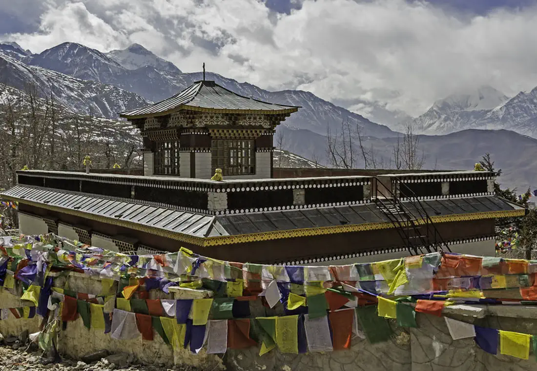
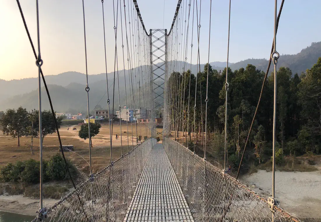
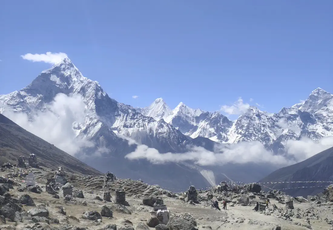
Demo photography, from the region rather than this departure. Every image is CC0 or public domain.
Departures
20% deposit confirms your place. Balance due 45 days before departure.
| Dates | Availability | Price | Book |
|---|---|---|---|
| 9 Oct – 28 Oct 2026 | Places open | $3,680 | |
| 6 Nov – 25 Nov 2026 | Few places left · 2 left | $3,680 | |
| 9 Apr – 28 Apr 2027 | Places open | $3,680 |
Your guide
Guide profiles are fictional. The photographs beside them show the terrain each guide works in — they do not depict the people described.
What travellers said
★ 4.8 from 28 fictional demo reviews.
-
★★★★★
Worth every hour of the road
Two days of travel to get to the start, and then twelve days of trail where we met three other foreigners. Pangpema in clear weather is a thing I will not forget.
-
★★★★★
Hard living, huge mountain
The lodges are as basic as Sunita said they would be. Nothing was oversold. The Jannu face from Khambachen is worth the whole trip on its own.
-
★★★★★
Excellent planning
Our flight out of Bhadrapur was cancelled and Sunita had already booked the contingency. We were back in Kathmandu on schedule.
Things to know
Why is this so much longer than Everest Base Camp?
Because there is no airstrip near the trailhead. Two days of travel each way and a 100 km approach on foot are what it takes to reach Pangpema.
How basic are the lodges?
Basic. Plywood rooms, shared squat toilets, no heating above Ghunsa, and a menu of dal bhat, noodles and eggs. Bring a warm bag and low expectations about showers.
Is there phone signal?
Intermittently as far as Ghunsa, then nothing. The guide carries a satellite communicator and sends a daily check-in that we can relay to your family on request.
Can I do the north and south base camps together?
Yes, over the Sele La — it makes a twenty-six day journey. We run it once a year in October as a private departure.
You might also consider
Close relatives.
Same region or same spirit, different commitment.
Not quite right?
We will build it around you.
Different dates, a shorter version, a family pace or a route that is not on this site. Private departures start at the same price as scheduled ones.